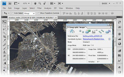
As GIS can be thought of as a system, it digitally creates and "manipulates" spatial areas that may be jurisdictional, purpose or application oriented for which a specific GIS is developed. Hence, a GIS developed for an application, jurisdiction, enterprise, or purpose may not be necessarily interoperable or compatible with a GIS that has been developed for some other application, jurisdiction, enterprise, or purpose.
No comments:
Post a Comment